The founding trustee, Arthur Albertson and his dedicated team of co-facilitators / trainers, are at the forefront of participatory mapping in Botswana, with 20 years of experience in coordinating community based mapping and resource management planning initiatives within the Kalahari wilderness areas.
Community identification of important territorial features, Central Kalahari. 2011
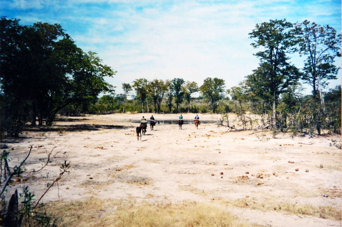
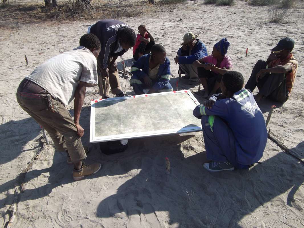
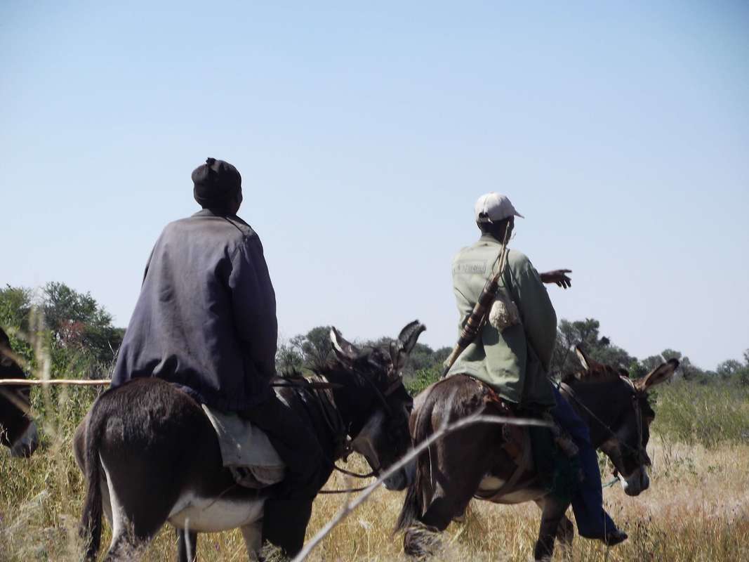
GPS navigation practical training, Central Kalahari
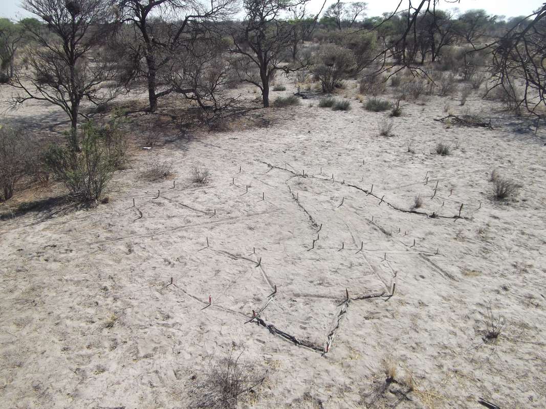
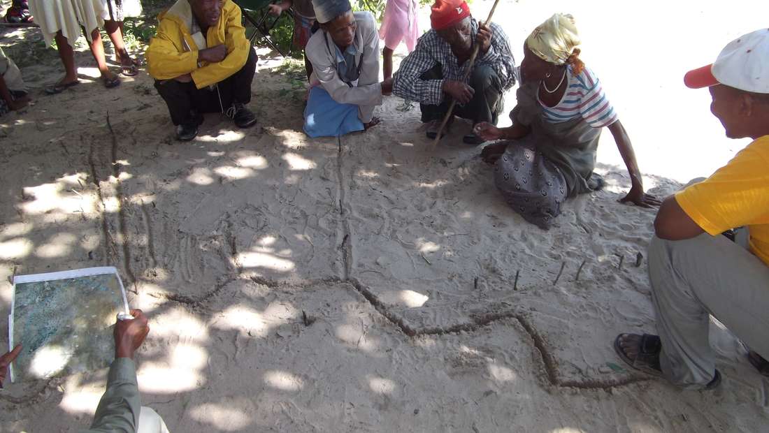
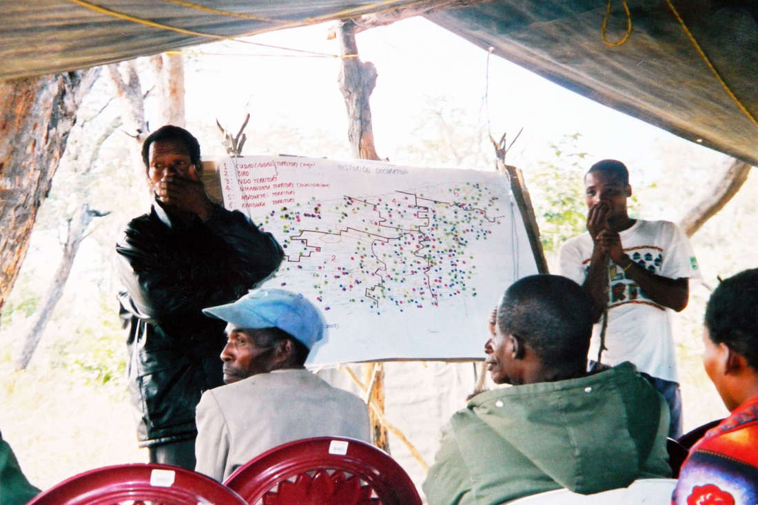
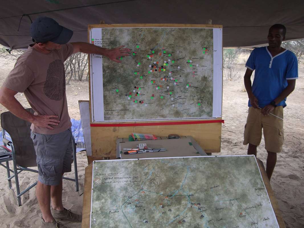
Community-generated schematic representation of territories in Central Kalahari. 2015
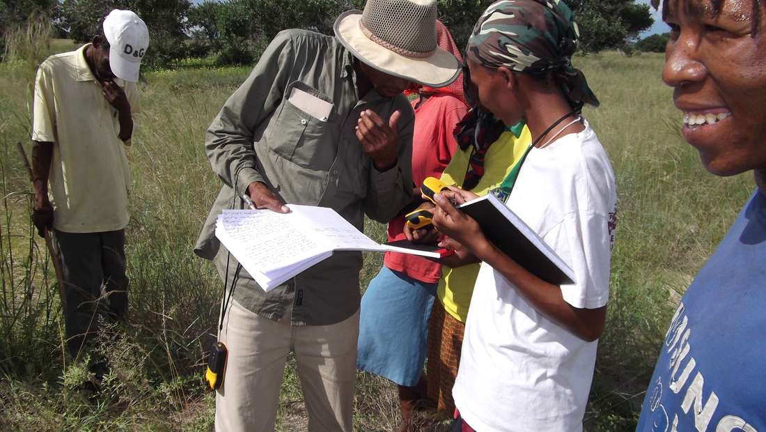
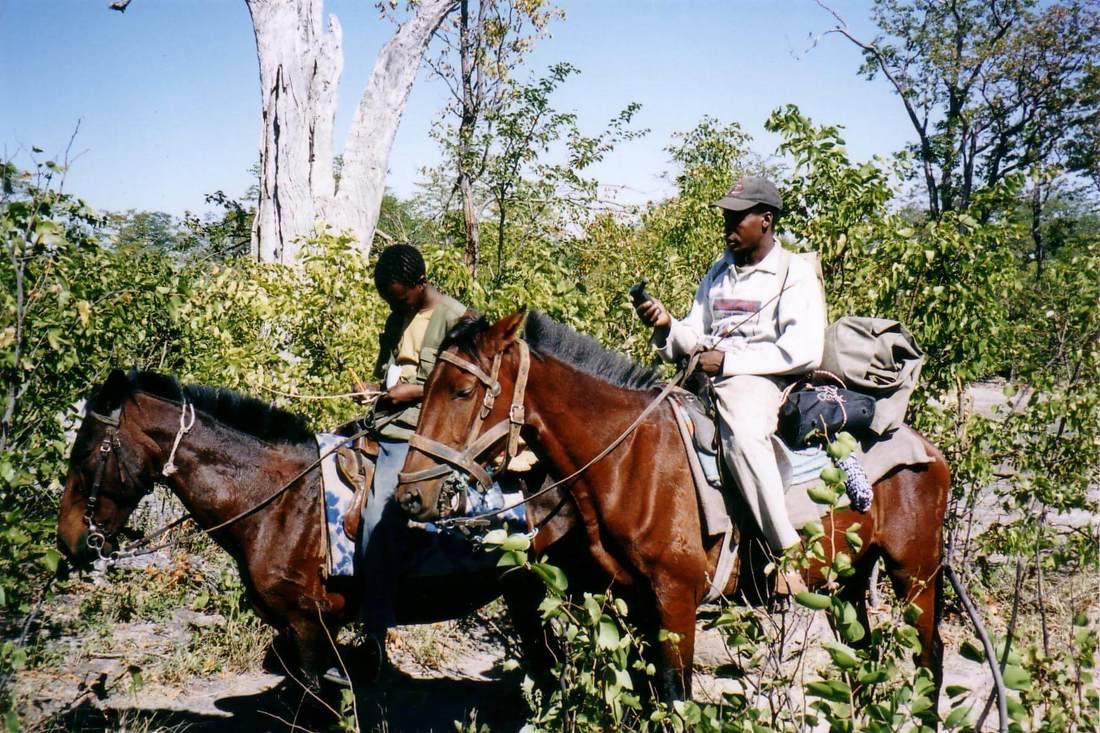
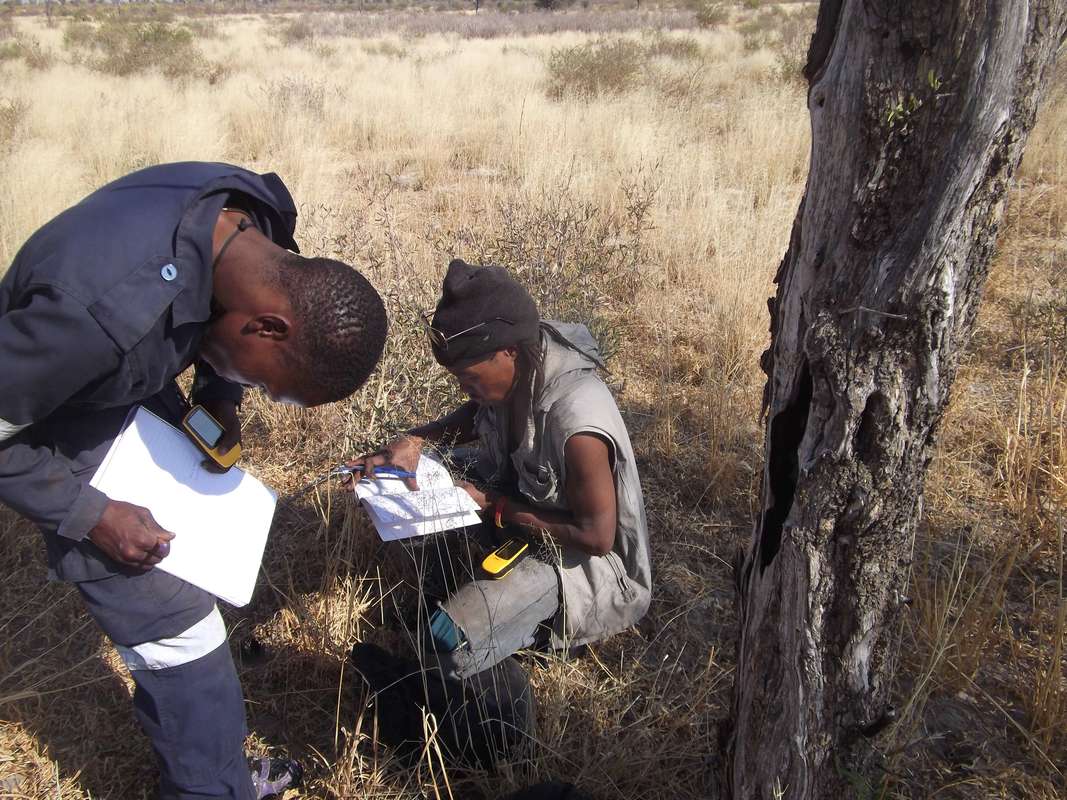
Survey data recording training
Participatory mapping is a vital tool for documenting fast-disappearing traditional ecological knowledge systems. The participatory methodology we have developed is a powerful catalyst for community mobilisation, inclusive land use planning and inter-generational knowledge transfer. The process also provides an extremely useful cross-cultural communication tool, helps planning stakeholders better understand the ecological and social dynamics, and helps to ensure that the planning outcomes are environmentally sustainable and capable of being actively supported by the local communities.
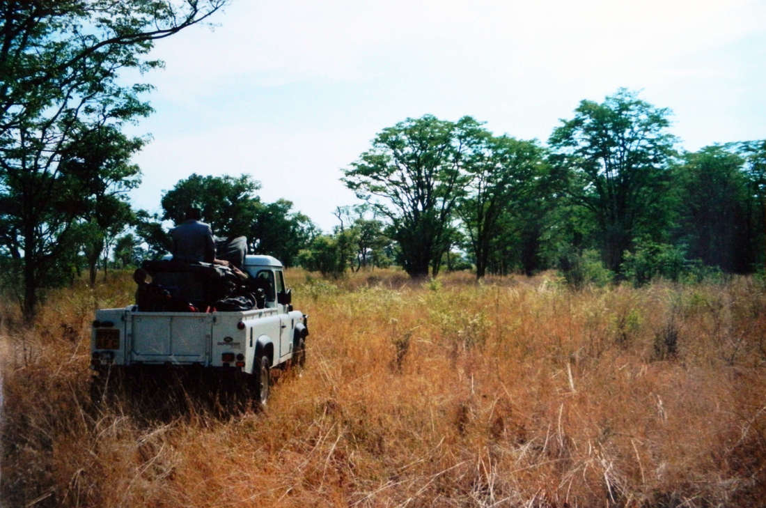


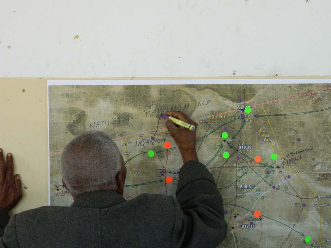
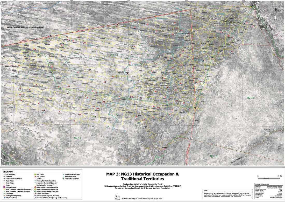
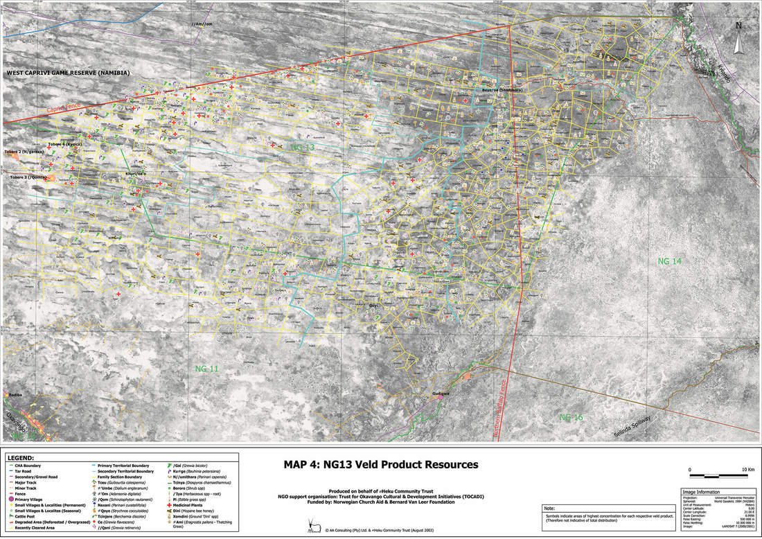
land mapping and management plan development in NG13, Northern Botswana. 1999 to 2003
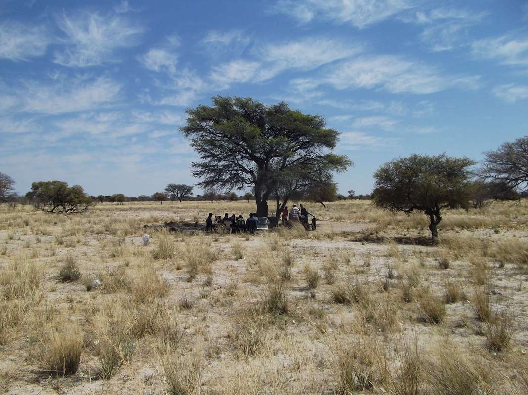

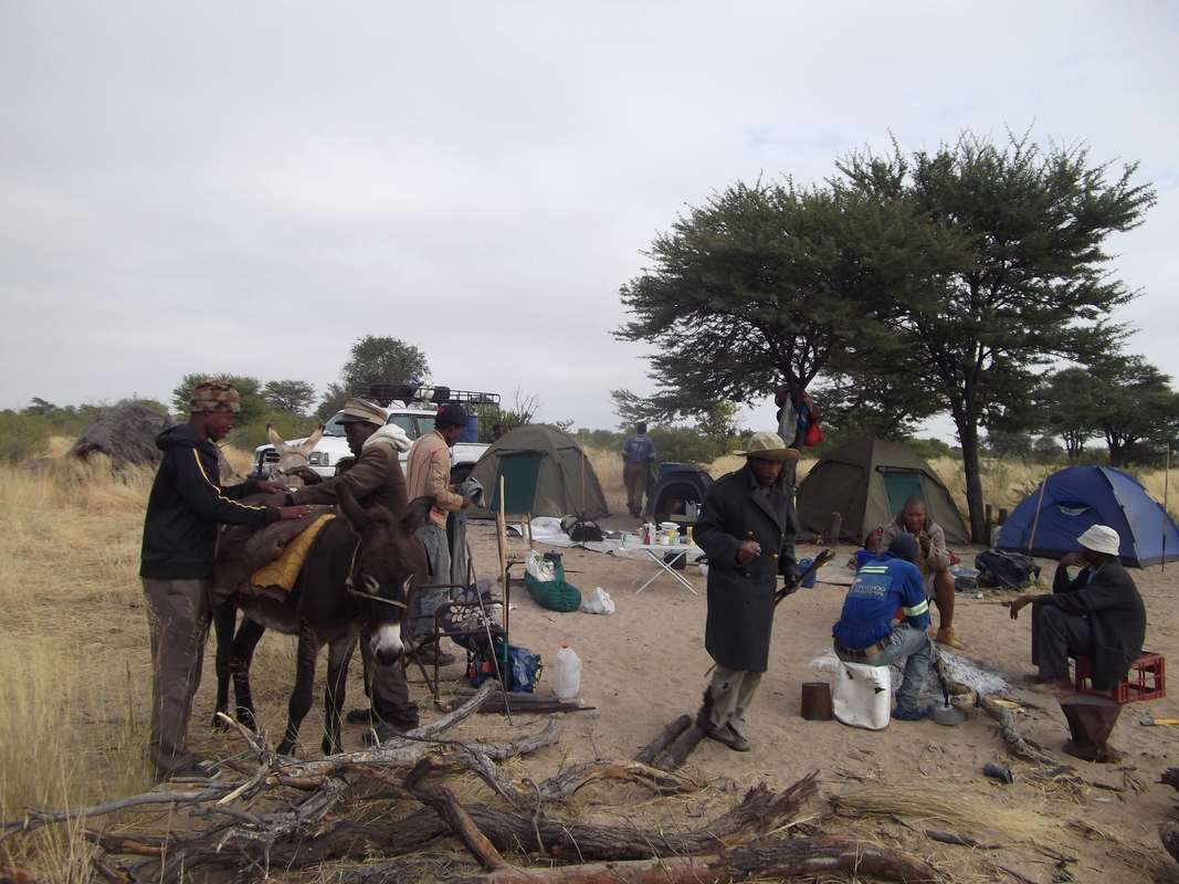

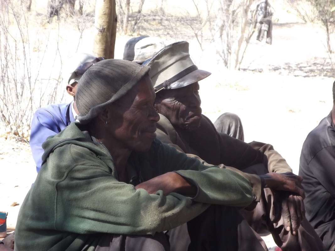
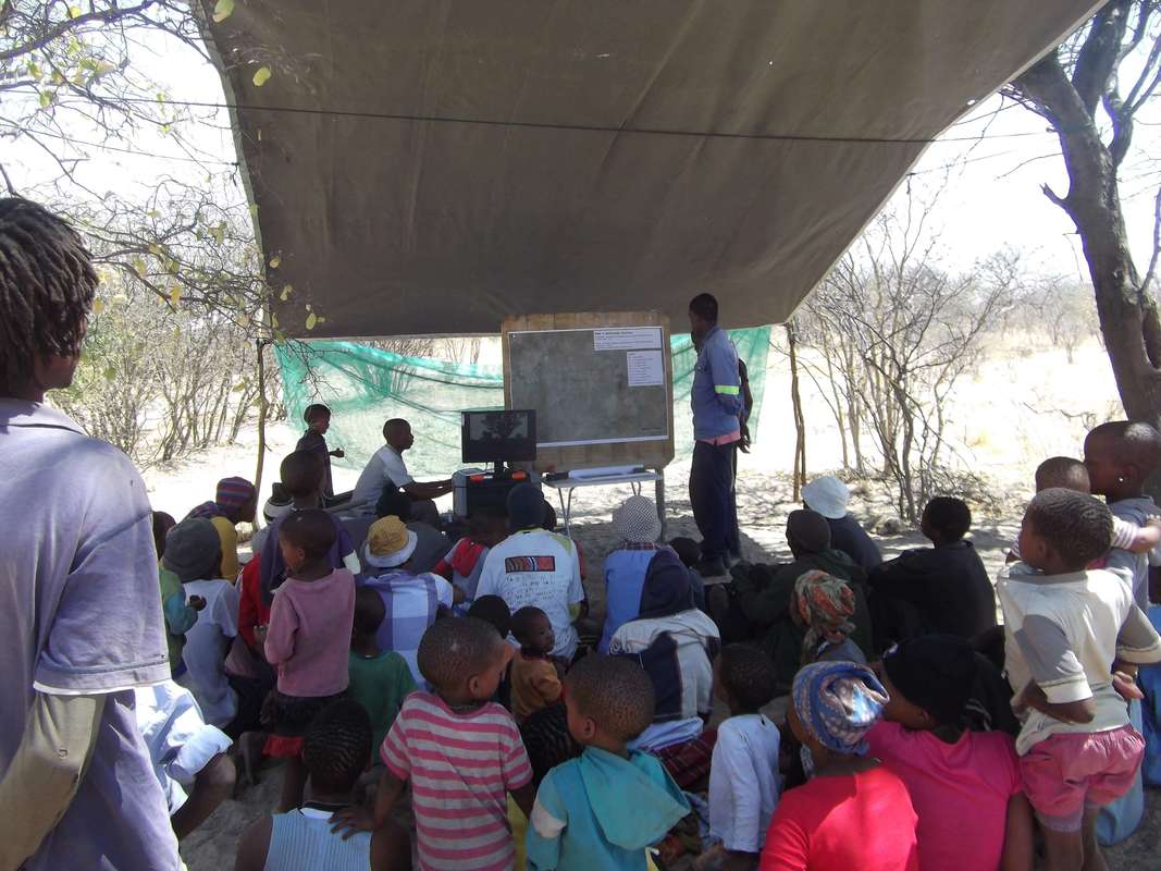
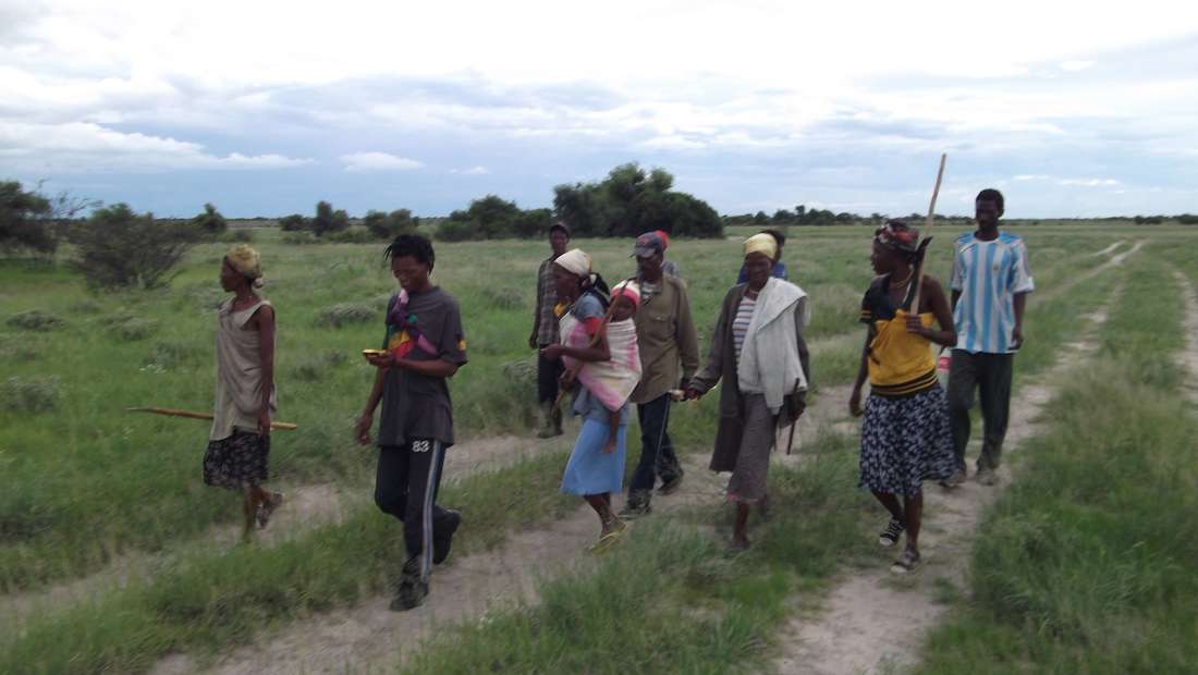
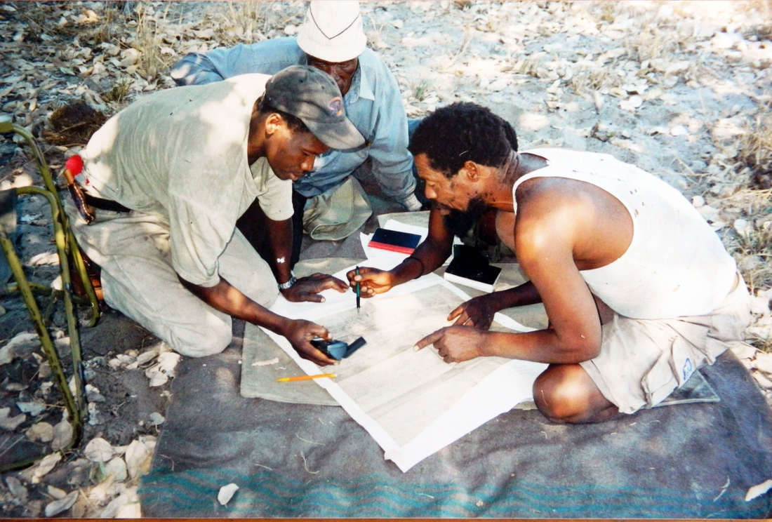
Land mapping training, surveys, mapping and land use planning development, Central Kalahari Game Reserve. Mothomelo area project: 2015 to 2016
(Ditshwanelo (Botswana Centre for Human Rights) supported project)
(Ditshwanelo (Botswana Centre for Human Rights) supported project)

Shaikarawe community mapping theme development, NG1, Northern Botswana. 2014
The Kalahari Wildlands Trust aims to provide mapping and natural resource management planning support to other vulnerable communities within the Kalahari wildlands seeking recognition of their traditional knowledge systems and resource use rights. We believe this to be essential to the identification - and successfull implementation of - culturally and environmentally feasible and sustainable livelihood support initiatives - both non-commercial (subsistence based) and commercial in nature (e.g. eco & cultural tourism). It also provides a protective mechanism against unsustainable land use planning, and development / land use interventions of potential threat to the natural resources on which the indigenous people of the Kalahari depend.
Examples of themes generated from participatory mapping projects coordinated by A.Albertson in Botswana:
Traditional Bugakhwe (San) territorial areas, Northern Botswana
Key traditional plant food species distributions
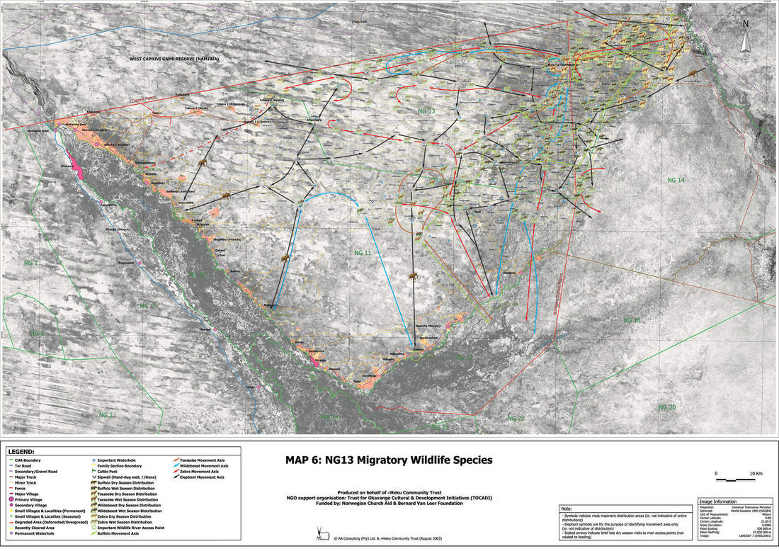
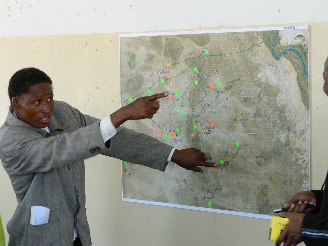
wildlife distributions and movement routes as an output of the participatory mapping process: Participatory mapping can significantly deepen our understanding of ecological dynamics by supplementing conventional 'snap-shot' scientific research methodologies.
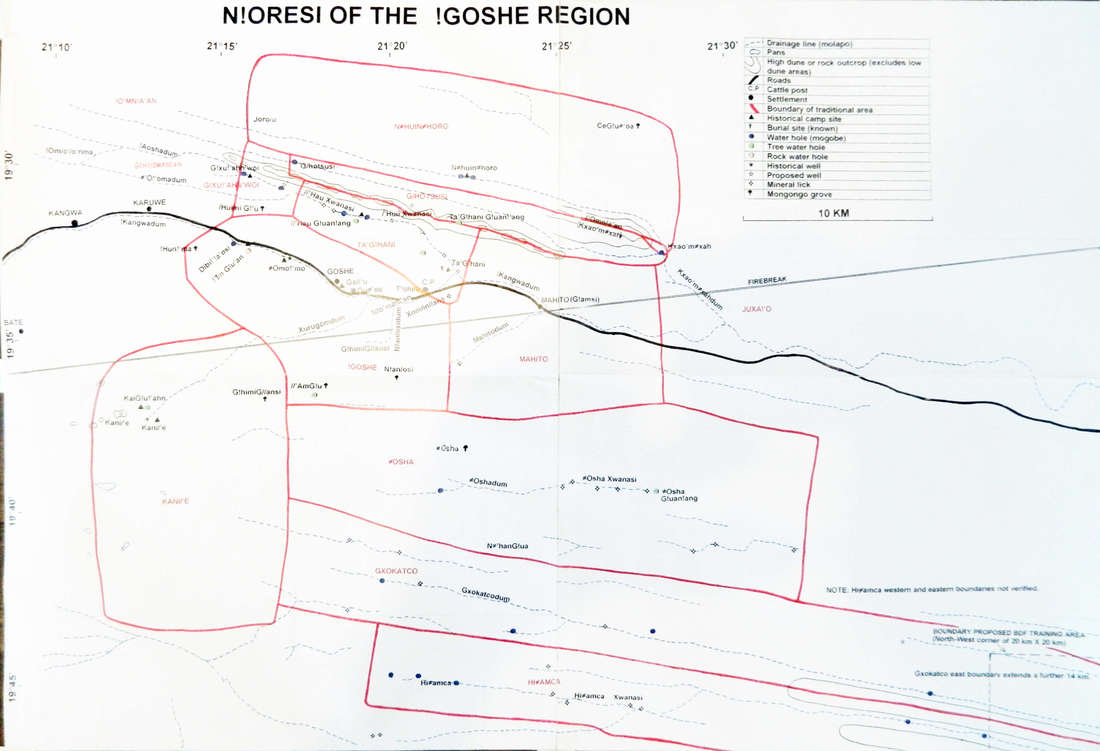
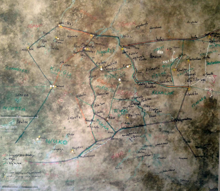
Mapped traditional N!oresi (territories) of the Ju/hoansi San in the Qangwa area. NG3, North-West District
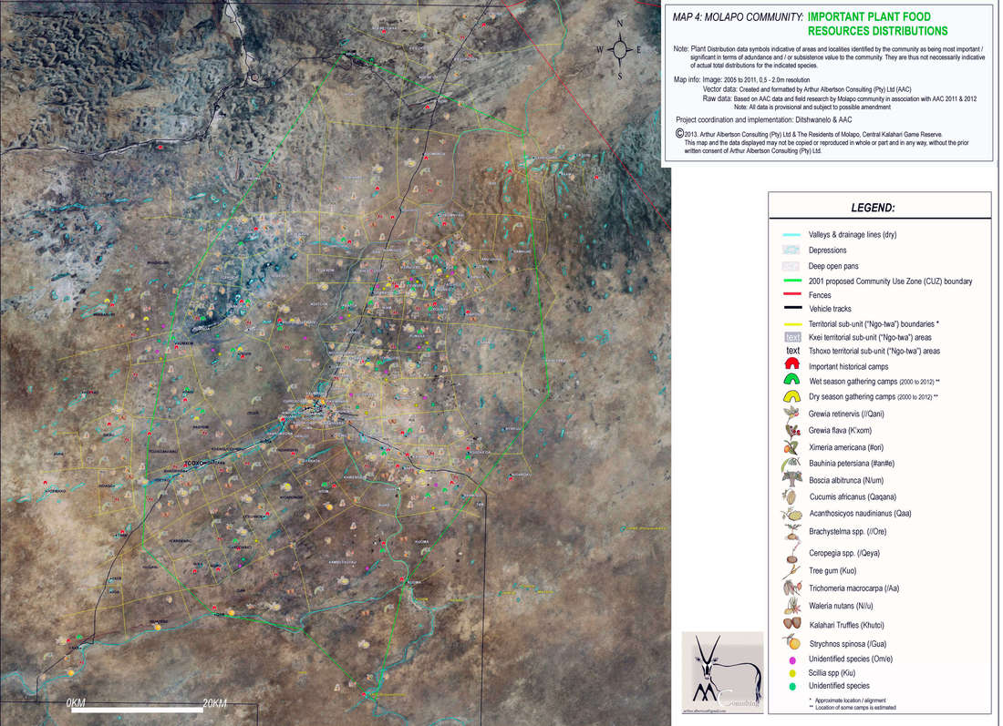
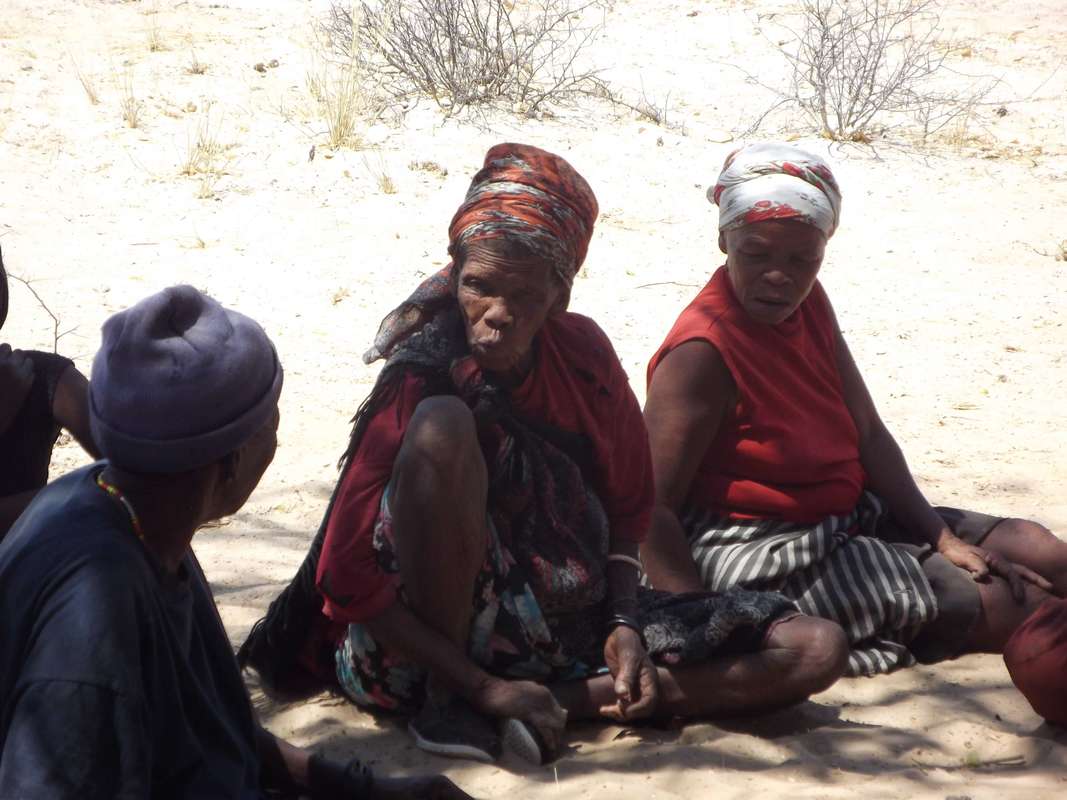
Key territorial plant food species distributions, Central Kalahari Game Reserve, Molapo. 2012 (Ditshwanelo (Botswana Centre for Human Rights) supported project)
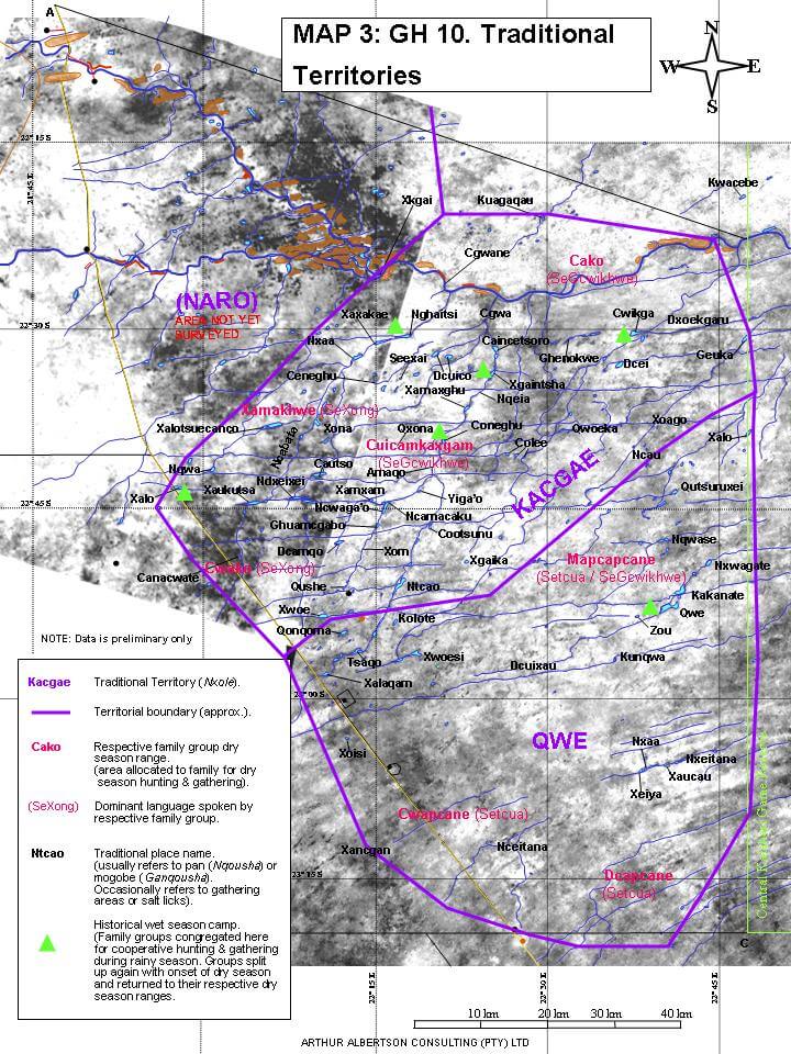
Preliminary mapped territorial localities in GH10, Ghanzi District. 2002