|
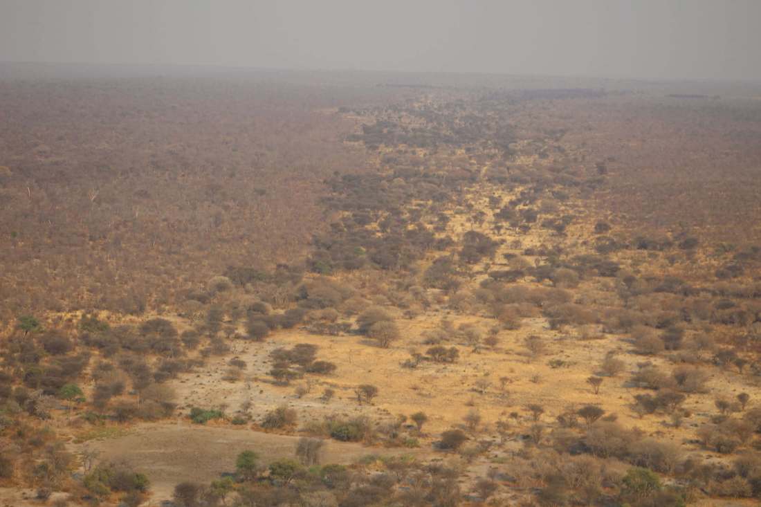
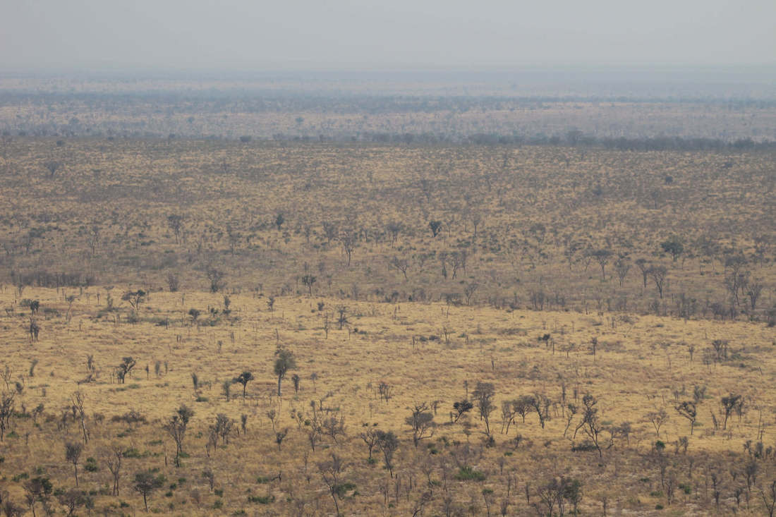
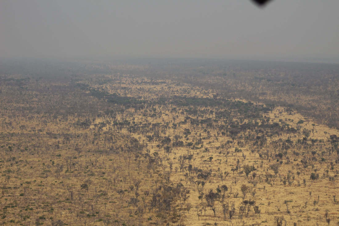
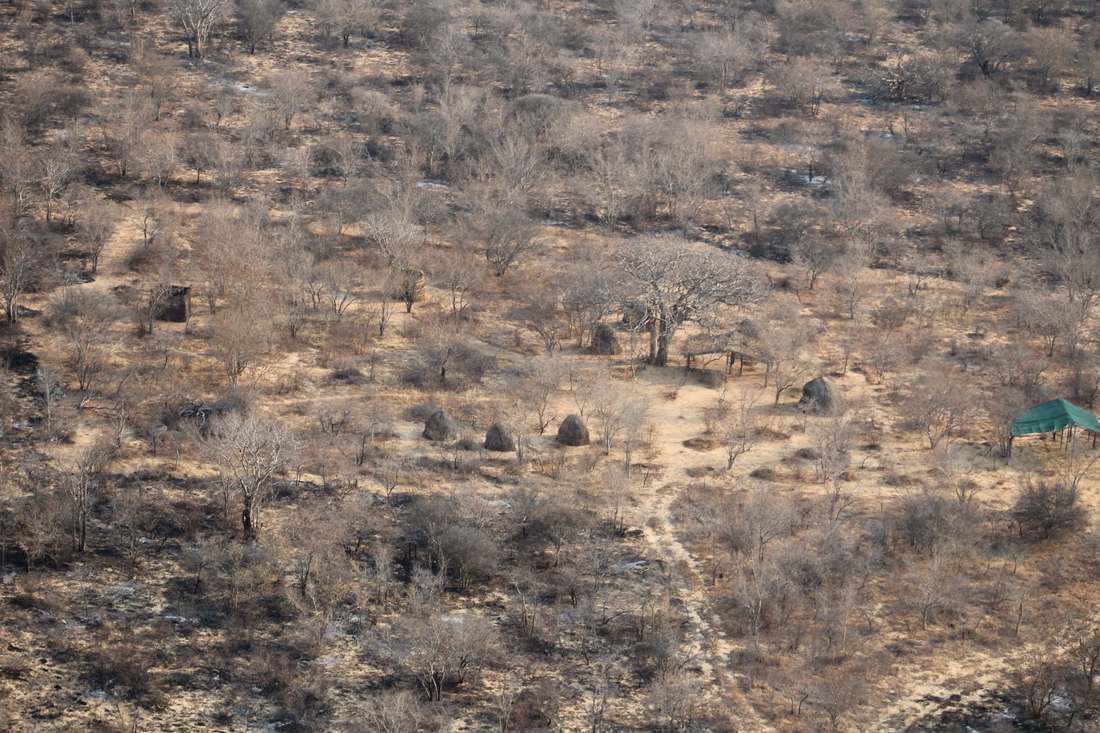
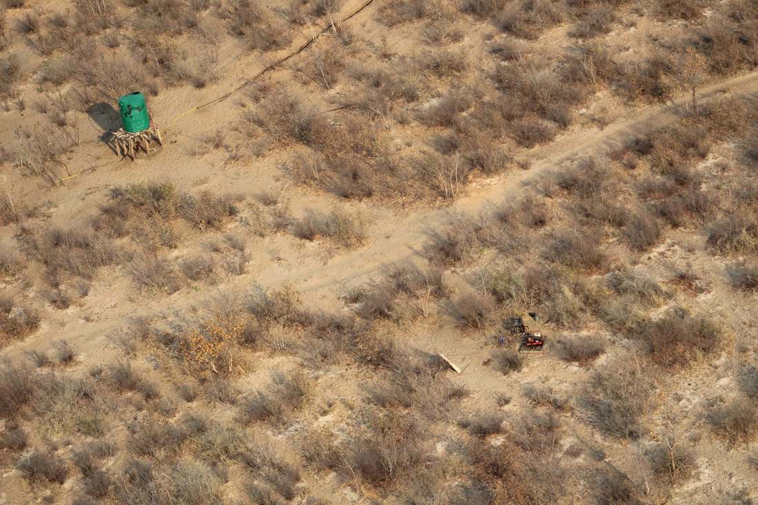
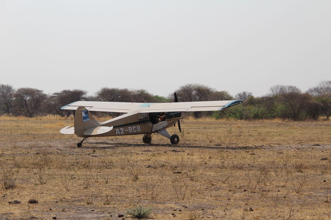
On the 25th of September, we conduted a 512km aerial survey over a vast tract of wilderness considered to be a vital spatial linkage in plans to re-establish - through the KAZA TFCA (transboundary conservation area) initiative - a major historical wildlife migration route between Botswana's Okavango Delta and Namibia's Kaudom National Park and Nyae-nyae Conservancy. Area "NG3" in Botswana is one of KWT's primary project focal areas, and the flight was valuable in deepening our understanding of this sparsely populated area. The survey was particulary valuable in: 1. Furthering our understanding of where some of the primary east-to-west elephant movement paths are located. 2. Obtaining further photographic evidence of illegal use of an abandoned mineral prospecting borehole by a members of a suspected crime syndicate under investigation for elephant poaching. 3. Verifying the location of new cattle post developments threatening core wildlife habitats and proposed community based tourism initiatives. 4. Verifying habitat conditions and changes (relative to our previous ground observations) in various parts of NG3 and southern NG2 for community based tourism and habitat conservation planning purposes. We would like to thank Wilderness Safaris for making the survey possible through their kind sponsorship of the cost of the flight. Thanks are also due to Rhino Conservation Botswana for making their specilaized "husky" survey aeroplane available for the work (at a discounted rate), and last but not least to their pilot, Mark Flatt, for his expert flying skills. 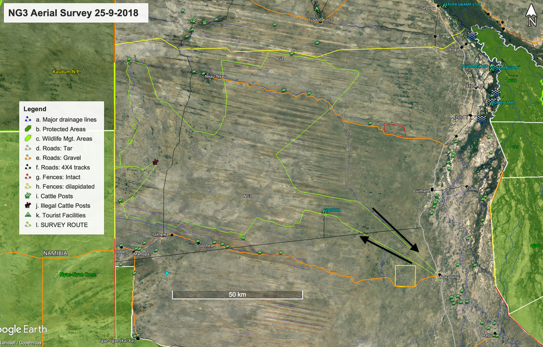 Move cursor over photos below to see captions:
1 Comment
|